7 September 2021
A new 4kms of walking and cycling path being built in Punakaiki will connect key attractions to the north and south of Dolomite Point.
This path, as part of the Dolomite Point Redevelopment Project (DPRP), has been designed with the community and visitors in mind – so they can move safely and without the need for a vehicle between Punakaiki communities.
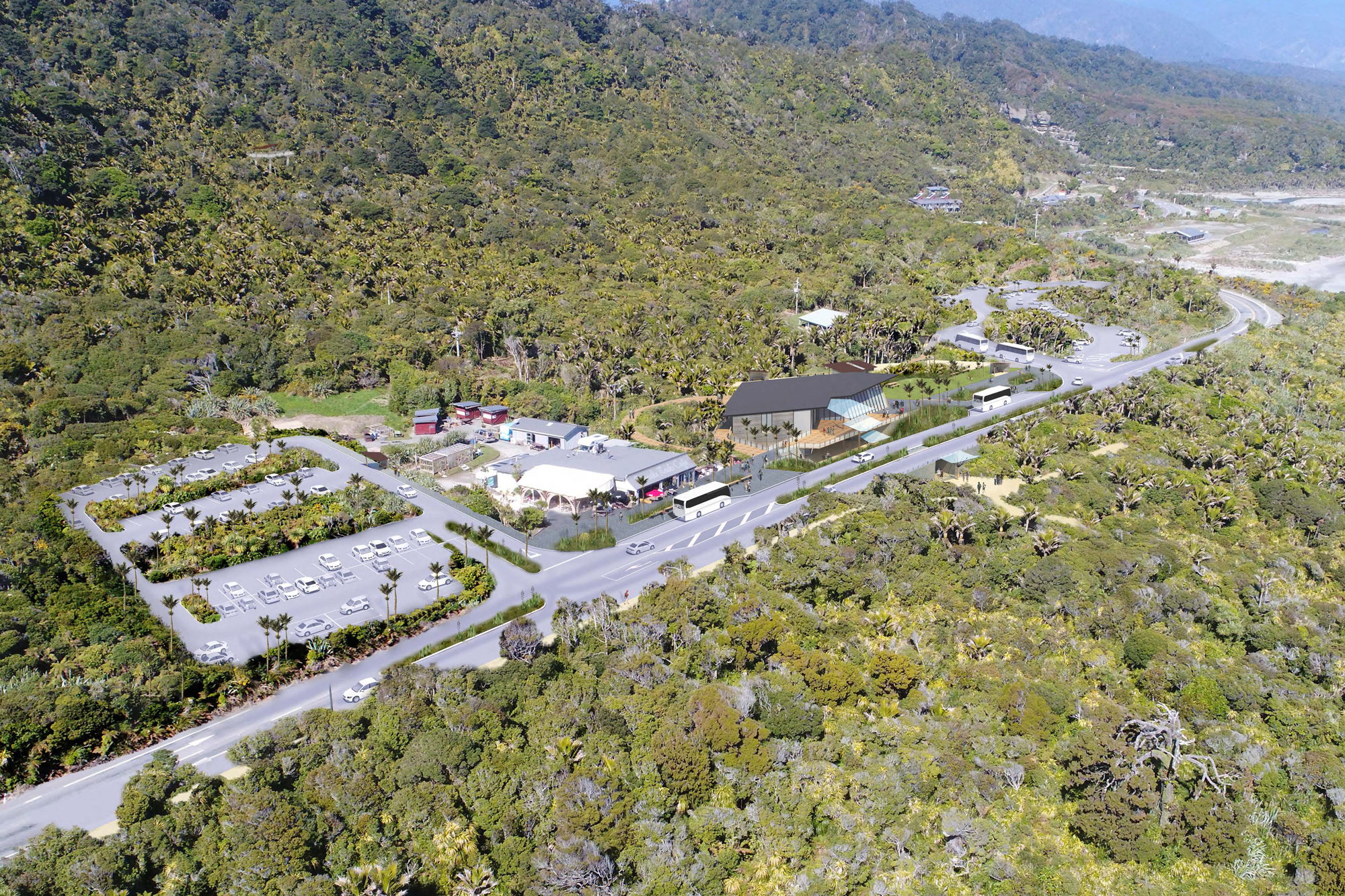
Dolomite Point is located along the southern stretch of the Great Coast Road between Westport and Greymouth on Te Tai o Poutini | West Coast of the South Island. It’s nestled in stunning broadleaf and nikau coastal forest and the magnificent limestone landscape of Paparoa National Park, making it a picturesque place to walk and cycle.
Since the new path runs next to State Highway 6, Waka Kotahi is leading the design and construction on either side of Dolomite Point. The design and delivery of the path through Dolomite Point is being led by the DPRP team.
After consultation with iwi and others in the local community, construction of the two paths leading to Dolomite Point started in September 2020. The first section of path from Waikori Road to Dolomite Point is complete and work on the path between Dolomite Point and Truman Track will be finished by October 2021.
This project is a collaboration between Waka Kotahi and the Department of Conservation (DoC), with DoC providing the majority of funding.
As part of the 2021–24 National Land Transport Programme an additional $178 million will fund a range of transport projects on Te Tai-o-Poutini | West Coast.
SH6 Punakaiki shared path project
2021–24 NLTP Te Tai-o-Poutini | West Coast regional summary