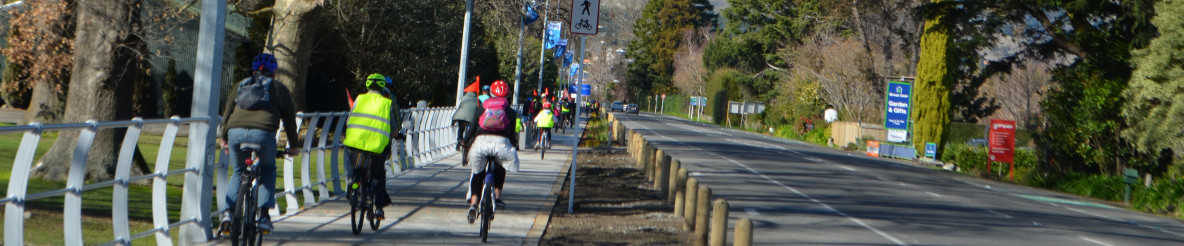
The iWay Napier extension project provides 36.5km of both on-road cycle lanes and wide, off-road pathways to complete the local network throughout Napier, connecting residential areas with employment areas, schools and education centres, reserves and recreational areas.
The Napier iWay network provides a unique opportunity to use a series of wide storm drainage reserves through the urban area to create wide, off-road pathways, and offers safer and connected routes for people to cycle to work, and for students who live along the routes to cycle to schools. These routes form the backbone of the cycle network, largely separated from traffic, with the potential to attract an increased demand for cycling.

Download the Napier Urban Cycleways map [PDF, 745 KB]
For the latest project updates visit the Hawke's Bay I-Way website(external link)
![]()
![]()