The Hawke’s Bay Expressway project has improved road safety from Bayview to Pakipaki. The improvements formed part of a $36 million programme designed to stop people being injured or killed on this stretch of road.
July 2024
Hawke's Bay Expressway has been identified in the Government Policy Statement on land transport (GPS 2024) as a Road of National Significance.
More information on this project will be available once funding for the Hawke’s Bay Expressway is confirmed through the National Land Transport Programme, due for release in September.
The Hawke’s Bay Expressway (SH2 Bay view and SH50A Pakipaki) is vital for the region, and provides an important link to both the Hawke’s Bay Airport and the Port of Napier. Over the last few years we have:
 View a larger map
 View a larger map
 View a larger map
 View a larger map
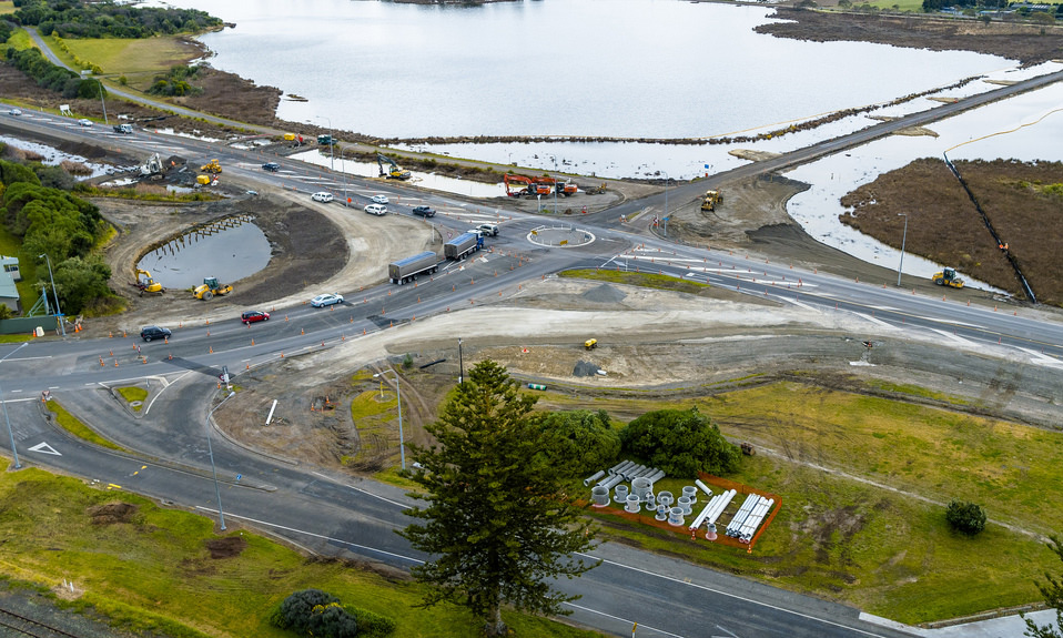 SH2 Watchman Road intersection
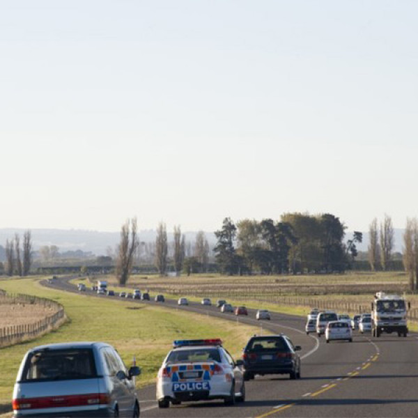
 SH2 Pakipaki to Waipukurau
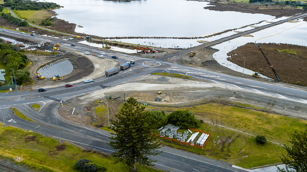
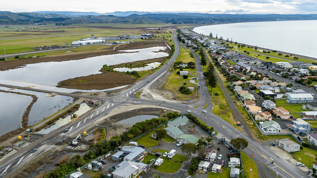
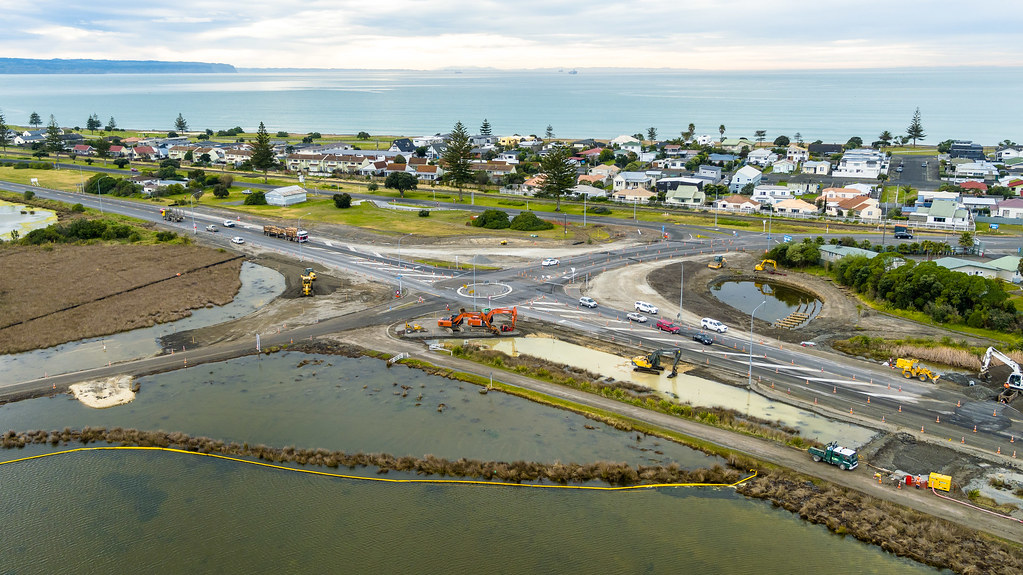
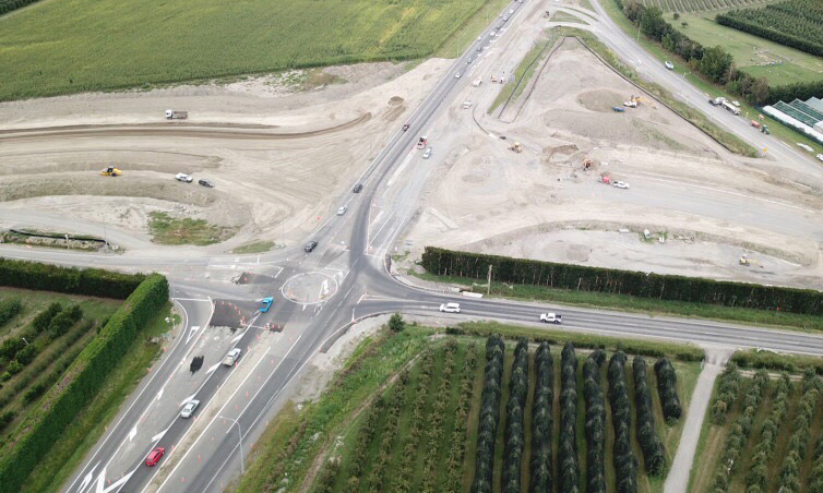 SH50 Pakowhai/Links Road roundabout